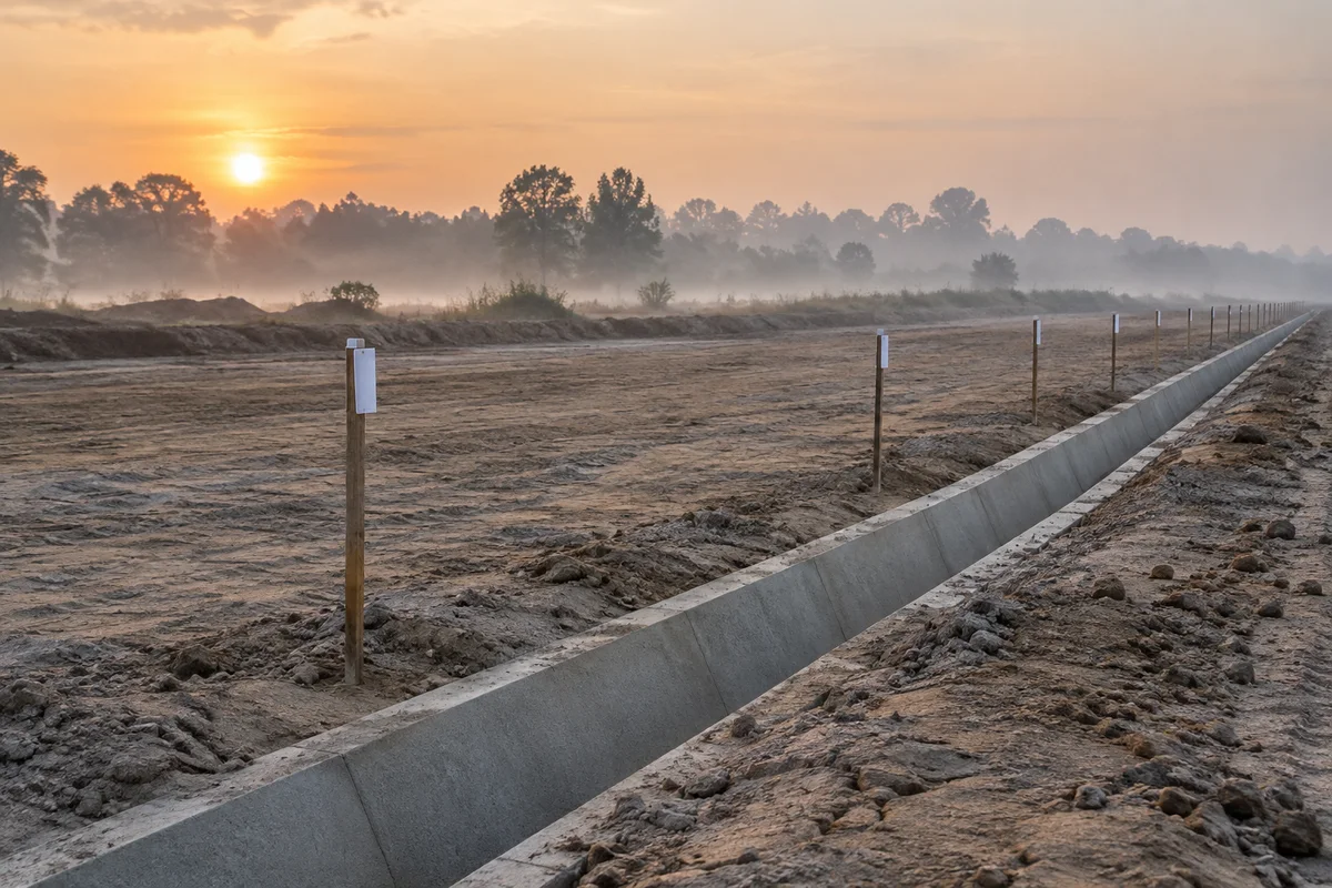

Field guide
Build a station schedule from a defined straight grade
Keep the design limits, station notation and height reference together.
Turn one design segment into a reviewable table
This grade elevation calculator prepares a schedule of design levels along one straight vertical grade. Start with two known station and elevation pairs, or with a starting station, starting elevation and signed grade percentage. In either case, specify the end station so the calculation has a defined boundary. Then choose a regular interval or supply the exact stations required by the next task. The result associates each requested position with a distance from the reference, a design elevation and a calculation status.
The useful deliverable is more than a column of heights. Someone reviewing the table should be able to identify the design revision, the assumed height datum, the length unit and the section that was evaluated. Use the reference field for that context and keep the source design with the exported report. A successful calculation confirms the stated arithmetic; it does not establish that a proposed profile is approved or that a site has been surveyed.
Choose the inputs you actually know
The endpoint mode derives the grade from the difference between the two design elevations divided by the difference between their stations. The percentage mode uses the entered grade directly with the starting elevation. Only the active design condition is used, so an old value in a hidden field does not become a competing constraint. Both modes require increasing start and end station values. For a descending profile, keep stationing increasing and enter a negative grade or a lower ending elevation.
One elevation and a percentage alone could describe an indefinitely long line. Requiring an end station makes the intended calculation range explicit. It also helps catch a pasted station from another part of a project. To process a different straight segment, create a separate calculation with its own endpoints and reference. Do not combine several changing grades into one long interpolation merely because the outer endpoints are known.
Interpret the plus sign before calculating
A station is a numeric distance with a chosen presentation convention. Plain 1050, three-digit 1+050 and two-digit 10+50 can represent the same value when interpreted using their respective settings. They are not interchangeable strings. Select the format before entering the design endpoints or the station list. The three-digit setting also accepts the prefix K, such as K1+050, while the two-digit setting requires two digits after the plus sign. Decimal fractions may follow those digits.
The parser does not guess a convention from the country or unit. The chosen unit labels the numeric distances; choosing feet does not automatically select two-digit notation. A leading minus sign applies to the whole station, so -0+050 denotes a negative distance in three-digit notation. Station equations, duplicate chainages caused by a back/ahead change, and discontinuous stationing are outside this tool. Resolve those relationships before supplying a single continuous station range.
Use one length unit and one height reference
The grade relationship requires comparable length units. If stations are in metres but a design elevation increment is supplied in millimetres, convert the values deliberately before calculation. This page records metres, international feet or legacy US survey feet without scaling inputs. The common label applies to station differences and elevation values. Changing that label after entering numbers does not perform a unit conversion.
Elevation also needs a consistent reference. A local project datum and an orthometric height are not made compatible by using the same number of decimal places. The calculator cannot identify the datum from a height value. Record the reference used by both endpoints, or by the starting elevation and the design instruction. Existing ground heights, finished surface levels and temporary construction levels can have different purposes even when they share the same datum.
Follow a complete straight-grade example
Consider a synthetic design with station zero at elevation 100, end station 100 and an uphill grade of 2%. The decimal gradient is 0.02. At station 50, the distance from the start is 50, the elevation change is 0.02 multiplied by 50, and the design elevation is 101. At station 100 it is 102. With a 25-unit interval, the five scheduled elevations are 100, 100.5, 101, 101.5 and 102. These are illustrative design values, not site observations.
The endpoint mode gives the same result when the start pair is 0 and 100, and the end pair is 100 and 102. A negative 2% grade from the same starting height instead gives 99 at station 50 and 98 at station 100. The sign follows the direction of increasing station. You can independently check a downloaded row by subtracting the starting station, multiplying by the decimal grade, and adding the starting elevation.
Choose a regular interval or a supplied list
Regular generation begins exactly at the defined starting station. It adds a positive distance interval repeatedly without accumulating decimal step rounding. When the end is not on that grid, the optional end control adds it as a separate final row. For a range from 0 to 10 with interval 3, the regular positions are 0, 3, 6 and 9; including the end adds 10 and therefore a shorter final interval. An end already on the grid is never duplicated.
For a supplied list, upload UTF-8 CSV or TXT, or paste the text. Explicitly select comma, tab or semicolon, the header option and the station column using a one-based column number. The other source fields remain available in JSON for context. Input order is preserved. Duplicate requests are retained because they may represent separate records for different features. A blank line does not become a zero station, and a missing value in a nonblank row is reported as invalid. XLSX workbooks are also accepted for this input: explicitly choose the worksheet, and replace formulas, dates or error cells with plain values before importing.
Review uncomputed records before handing off
A list can contain a mixture of valid, malformed and out-of-range stations. Every nonblank request remains represented in the result, with its physical source line and original station text. A request outside the start and end bounds has no calculated elevation. The page never extends the grade silently to satisfy it. Correct the source, change the explicitly justified design boundary, or keep that record excluded; do not treat an empty elevation as zero.
The table is paginated while the downloads include the whole result. The CSV includes statuses and reasons alongside numeric values, so recipients should filter deliberately rather than assume every row is a computed level. The JSON preserves input settings, source text and extra fields for later review. Spreadsheet-facing text is protected against formula interpretation. Keep the status columns when passing the schedule to a colleague who did not see the calculation screen.
Keep display precision separate from the calculation
The selected decimal places affect the station display, not the underlying station value or the grade arithmetic. A station close to a block boundary can display as the next block after rounding; the separate unrounded station column lets you inspect that difference. Decimal inputs are processed with integer-based arithmetic. Repeating fractional elevations are represented with a bounded decimal expansion rather than an endless string, so exported digits still have a numerical limit.
The profile sketch uses independent axis scales so small height changes remain visible. Its apparent angle is therefore not a true slope measurement, and the line is not an existing-ground profile. Use the numerical results for comparison. Additional decimal places do not improve the accuracy of the source design, field control or height datum. If a receiving application requires a particular rounding rule, apply it at a clearly documented export or downstream preparation step.
Stay within the supported design model
This release evaluates one straight grade only. It does not evaluate a vertical curve, insert grade breaks, calculate crossfall, produce cut and fill from ground observations, or solve station equations. Those tasks require additional geometry and conditions. A station within a vertical curve can have a different elevation from a tangent extension, even when both expressions use the same nearby design point. Confirm which part of the profile applies before entering the data.
Processing is local and runs in a cancellable worker. The maximum is 100,000 output records and 10 MiB of input text; the CSV also has a 10 MiB export limit. Input magnitudes are limited to one trillion with up to twelve decimal places. Large inputs use a bounded text preview while retaining the complete source. Restore the last calculation inputs to revisit an earlier setup, or clear the session to remove the page data. Neither action rewrites the original file on disk.