Slope distance reduction
Reduce zenith or vertical-angle observations, apply instrument/target heights and retain every source row.
A clearer path from field to file
Practical land surveying tools for the work between the field and CAD. Check your point files, understand the issues, and move forward with confidence.
Free to use · No sign-up · Files stay on your device
Reduce zenith or vertical-angle observations, apply instrument/target heights and retain every source row.
Cut straight profiles through original TIN faces with slope breaks, explicit gaps and full interval exports.
Review original TIN faces, units and point groups. Extract traceable points and keep the connectivity audit.
Query a design height from original triangles and compare measured elevations with explicit coverage and tolerance.
Convert known WGS84 UTM and CGCS2000 Gauss–Krüger files with explicit zones, axes and failed-row review.
Map WGS84 points or ordered lines; extract supported vertices with names, folders and altitude modes.
Fit rotation, translation and optional scale; reserve checks and review extrapolation before point export.
Reduce BS, IS and FS observations, check known-end closure, and explicitly choose setup or distance corrections.
Review original coordinate closure from directions and distances, then choose Bowditch corrections.
Offset an ordered open line, inspect corner joins and intersections, then export reviewed points and DXF.
Apply a supplied combined factor in either direction and retain each distance, difference and invalid record.
Solve radius plus angle, arc or chord; review all simple curve elements with explicit units.
Generate two-dimensional points at arc intervals with stations, adjacent chords and endpoint review.
Build a bounded straight-grade schedule from endpoints or a known grade. Keep every requested station and status.
Calculate coordinates or station and offset along ordered segments. Review all projection candidates before applying.
Select supported point entities or polyline vertices, confirm WCS and units, and retain every excluded entity.
Solve rise, horizontal run, percent, angle and H:V ratio with explicit direction and sufficient known quantities.
Generate equal segments or fixed-spacing points, review the residual, and append with explicit endpoint and height choices.
Apply known local parameters with an explicit center and order. Review every original and transformed coordinate.
Find all valid bearing, distance or line intersections. Choose a candidate explicitly and retain the conditions.
Check an ordered simple boundary before calculating area and perimeter. Preserve every source record.
Find missing coordinates, repeated IDs and invalid fields. Keep a traceable report with every original record.
Arrange PNEZD, PENZD, NEZ or custom columns. Preview CSV/TXT output and choose precision and unit changes explicitly.
Plot points, search IDs, filter codes and inspect source rows. Export a PNG or all selected original records.
Compare confirmed point pairs, review signed offsets and tolerances, and retain unmatched observations.
Separate ID conflicts, equal coordinates and nearby pairs. Preview explicit changes with a reason for each decision.
Combine separately mapped sources, resolve ID conflicts explicitly and keep record counts and provenance.
Use sequences or integer offsets, protect control IDs and inspect a complete old-to-new mapping.
Count complete descriptions, preview explicit mappings and keep original codes in a change audit.
Extract by ID, code, height or coordinate window. Reconcile selected and unselected records.
Track added, removed and modified points with old and new values and an explicit matching record.
Create ordinary CAD points, labels and explicit paths with a source and layer report.
Calculate directed pairs from known coordinates. Review azimuths, horizontal distances and known height changes.
Generate new points with explicit directions and horizontal distances. Choose a fixed origin or a sequence.
Convert explicit decimal, DMS, compact DMS and gon formats. Keep original values and per-line errors.
Review signed offsets, projection feet and along distances. Compare infinite lines with finite segments.
A useful second look before a file becomes someone else’s starting point.
A missing northing, a repeated point number, or one extra comma can interrupt an otherwise straightforward handoff. CogoKit turns those small surprises into a readable checklist, with the original line, field, and value beside each finding. Start with the point file checker to understand what your file contains before you decide what needs changing.
Your coordinates belong to your project. Files are read and checked in your browser, with no account, cloud upload, or background project storage. The checker preserves point identifiers, descriptions, extra columns, and original source text. When the review is finished, download the report you need or clear the session and start fresh.

Three small steps. Every source record accounted for.
Drop in a UTF-8 CSV or TXT file, paste a few rows, or type a short list by hand. Commas, semicolons, and tabs are supported. Quoted descriptions can contain delimiters without splitting into extra columns. You can also load our synthetic eight-point example to see the full workflow without using any project data.
Preview the first rows and map point ID, northing, easting, elevation, and description. A suggested layout is never a substitute for knowing your source. Confirm the horizontal and elevation units separately, and decide whether your task requires elevation. If the headings say only X and Y, use the source documentation to choose the correct axes.
PNEZD and PENZD describe column order. Choosing an order does not transform a coordinate system.
Run the check and review errors, warnings, and notes in separate filters. Select a finding to see its source row, or inspect coordinate-valid points in a small planar preview. Export a full JSON check record or a spreadsheet-friendly CSV issue list. Correct the source deliberately, then check the revised file again.
Practical details shared across checking, conversion and point viewing.
Confirm PNEZD, PENZD, or a custom mapping without moving columns in a spreadsheet. Additional fields remain in the full report, even when they do not have a standard survey-field role.
See missing identifiers, missing coordinates, invalid numbers, and inconsistent column counts. A blank elevation remains blank; it is never silently replaced with zero to make a row look complete.
Repeated point IDs are flagged across every occurrence, with no automatic merging or overwriting. Identifiers stay as text, so 0012 and 12 remain two different values until you decide otherwise.
Set optional northing, easting, or elevation limits using your project units. Values outside those inclusive limits are warnings for review. CogoKit does not invent a tolerance or declare a measurement wrong.
Inspect a local planar point preview and the original record together. The preview helps you spot patterns in the file, while keeping coordinate reference, field conventions, and survey accuracy separate questions.
Keep a dated report containing settings, units, source text, all records, and every finding. A separate CSV issue list is prepared for spreadsheet review, with formula-like text protected from automatic execution.
For the small, important checks between collecting points and using them.
Check a collector export before bringing it into your desktop workflow. Separate a file-format problem from a field observation that needs review, and keep the original descriptions available.
Field → officeReview whether a supplied point list has identifiers and the coordinates your next step requires. Require elevations when appropriate, while keeping site units and control information with your project.
Office → siteMake a handoff easier to explain with source-line findings and a downloadable check record. Anyone reviewing the report can see which settings were used and which questions remain unresolved.
Team → teamPrivacy & scope
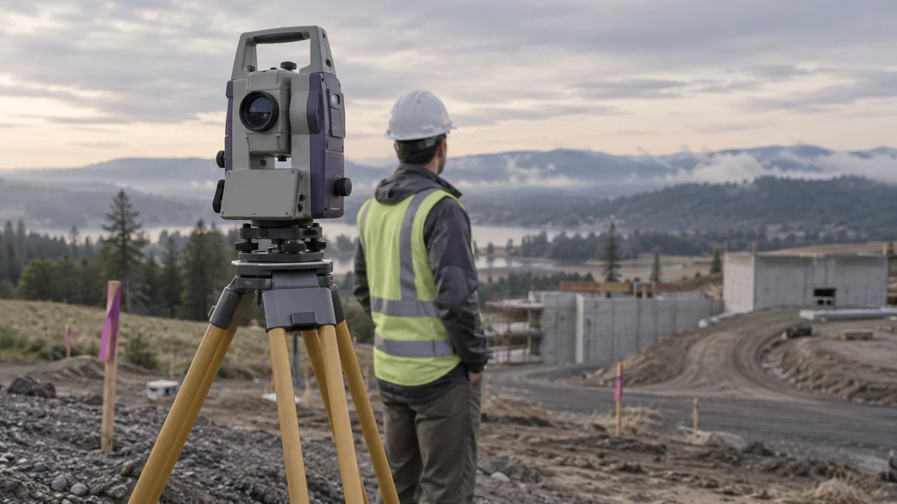
CogoKit is an independent tool project for file preparation. It does not provide surveying certification, property-boundary decisions, a full CAD environment, or real-time instrument control. The example file is synthetic, and the two editorial images on this page are generated illustrations of the workflow.
Project data is processed in browser memory. No file contents, coordinate values, point IDs, or project names are sent to a server. Your reports are downloaded only when you request them. Clear the session when you finish; refreshing the page also discards the current point data. Hosting infrastructure may receive ordinary page requests, but the checker does not add project information to them.
Review results alongside your project specifications and the destination software’s import rules. A structural check cannot verify control, measurement accuracy, units, or coordinate reference from numbers alone. The current release is intended for careful file review, with every automated finding open to inspection.
Straight answers before you bring in your first file.
Thirty-six tools are available in English and Chinese: point file checking, format conversion, point viewing, design-versus-measured comparison, duplicate/nearby point review, file merging, point renumbering, description-code editing, point filtering, file revision comparison, DXF export, bearing-and-distance inverse calculations, new coordinates from bearing and distance, angle format conversion, point-to-line offsets, survey intersections, polygon area/perimeter, straight-line division, local coordinate rotation/translation, DXF coordinate extraction, slope/grade calculations, design elevation schedules, station/offset calculations, circular curve elements, curve staking coordinates, parallel line offsets, grid/ground distances, level run reductions, traverse closure adjustments, control-based 2D coordinate fitting, same-datum projection conversion, CSV/KML/KMZ exchange, LandXML point/TIN review, point-to-surface elevation comparison, slope-distance observation reduction, and terrain section extraction. Each processes data locally and preserves original records.
Yes. File reading, checking, conversion and plotting happen in your browser. Selecting a file does not upload it to a processing server. Project data stays in session memory and Clear data removes it. Browser storage is used for your theme and, only when requested, a format-settings preset containing no coordinates or file contents.
No. You can map the available columns yourself. PNEZD means point identifier, northing, easting, elevation, and description; PENZD swaps the easting and northing positions. A different field order changes how values are interpreted, not the underlying coordinate reference. Confirm the selected fields against your collector or office export settings before running a check.
No. A file can contain valid numbers and unique identifiers while using the wrong datum, units, control points, or observations. The checker evaluates file structure and the rules you select. It does not certify accuracy, establish property boundaries, compare against design values, or replace an independent survey review. Even processable records may carry warnings that need a decision.
This first version accepts UTF-8 text up to 10 MiB and 100,000 point records. A leading UTF-8 byte-order mark is supported. UTF-16 and invalid UTF-8 files are rejected with an explanation, so export them again before checking. The table is paginated and the position preview draws at most 1,000 coordinate-valid points; the check and exported report include every accepted record.
No. Checking does not rewrite your source file, remove duplicate points, convert units, reorder fields, or fill in missing values. The full JSON report preserves the source text and original fields. Its numeric interpretations are used for checking only. If you need to correct a value, change it deliberately in the source or pasted text, review the mapping again, and run another check.
The reports are review documents, not instrument import files. The CSV contains issue metadata and protects formula-like cell values for spreadsheet use. The JSON preserves the full checking context and original data. Download source text if you need the text that was checked, and prepare the actual instrument import format using the intended software and its documented settings.
Bring your point file. Leave with a clear, traceable review.
Free to use. No account. No file uploads.
Plausible and Google Analytics help us understand which pages are useful. GA4 uses analytics cookies. Declining does not affect the tools. Your survey files remain locally processed. You can change this choice on the privacy page.